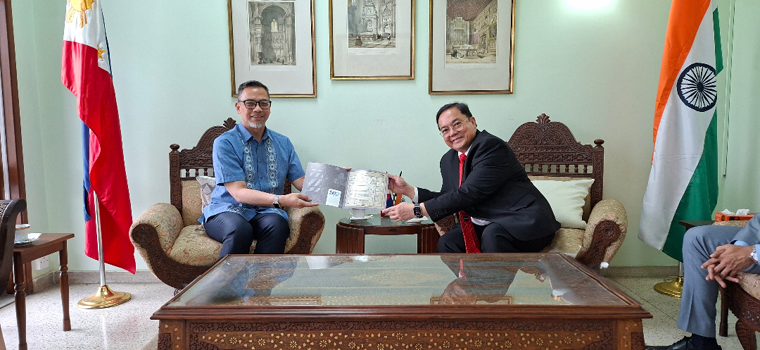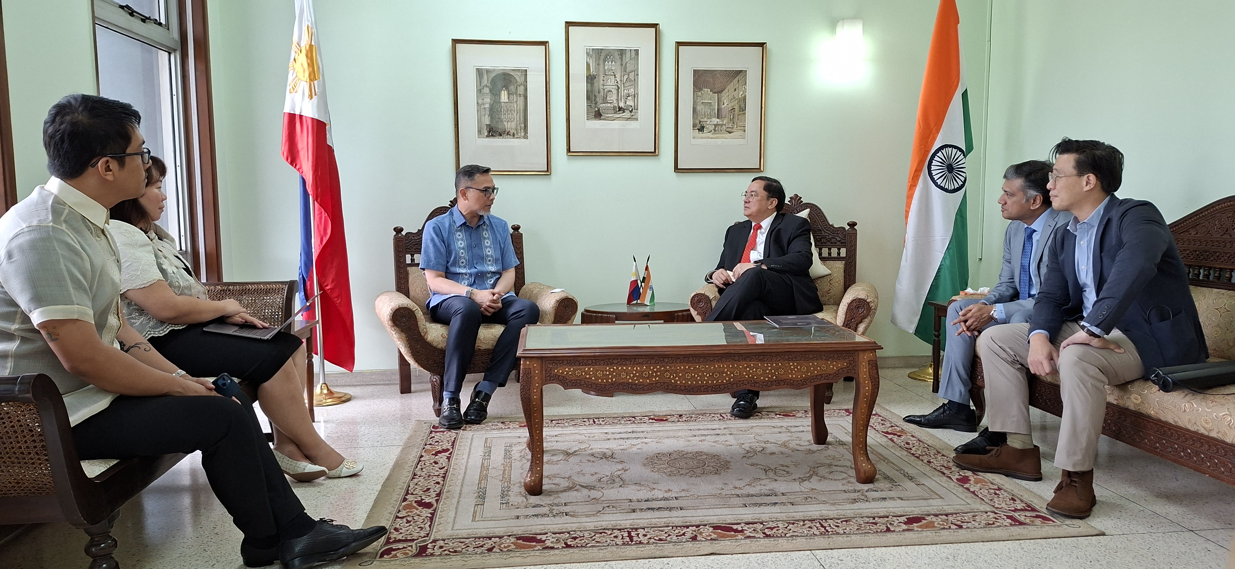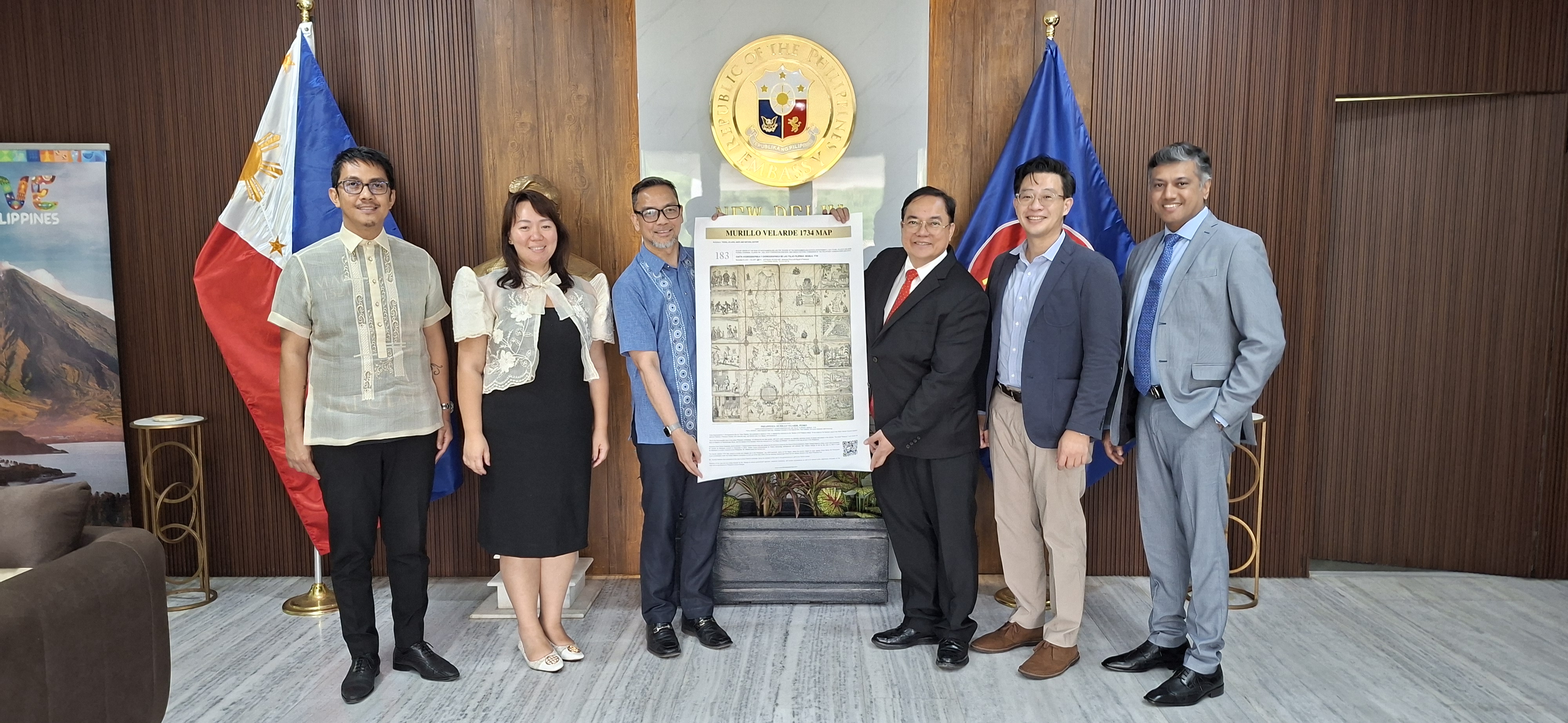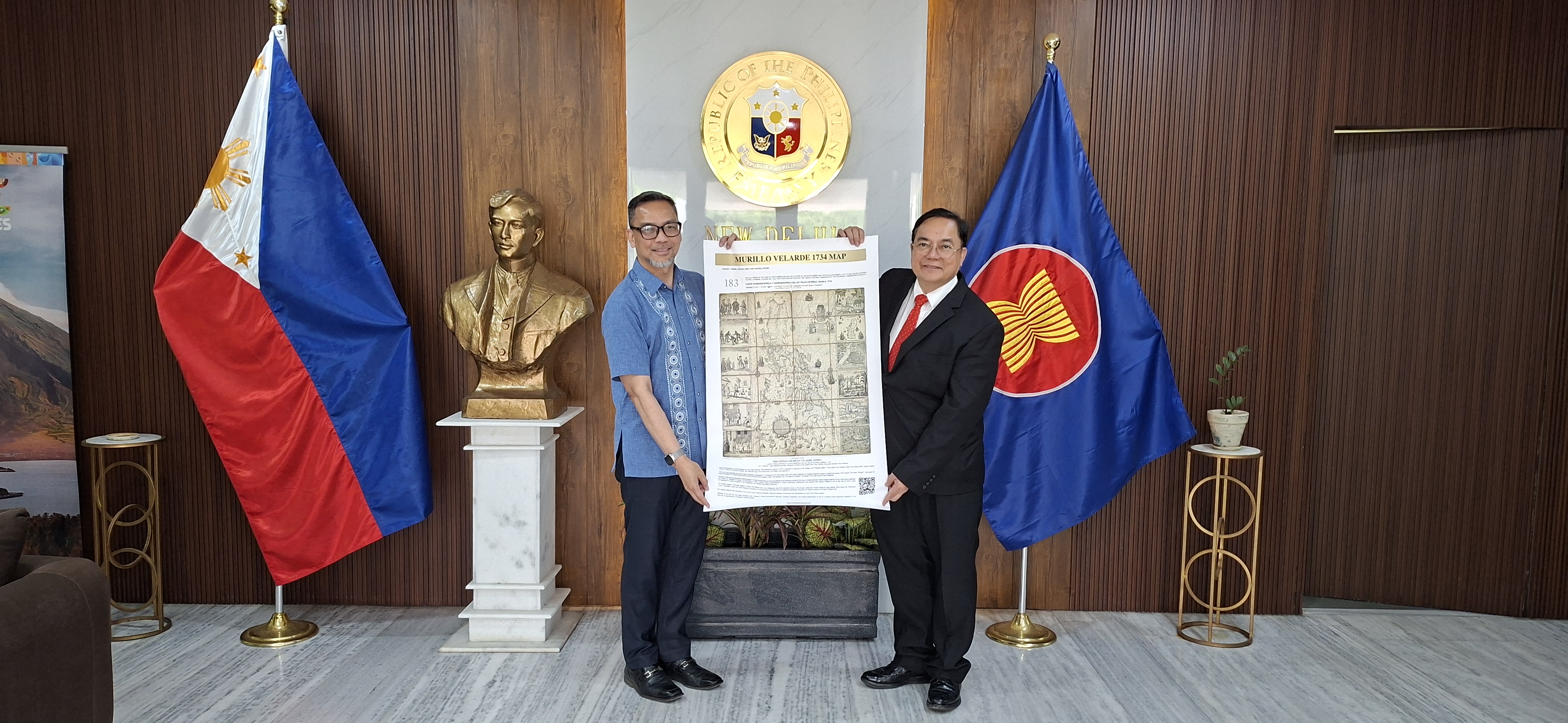
NEW DELHI - A facsimile of the renowned 290-year-old Murillo Velarde Map depicting the Philippines now hangs proudly within the premises of the Philippine Embassy in New Delhi, thanks to the generous and patriotic donation of technology entrepreneur and educator Mr. Mel Velasco Velarde.
Mr. Velarde, Chairman of the Asian Institute of Journalism and Communication (AIJC) and the NOW Group, presented Ambassador Josel F. Ignacio the commemorative copy on May 5 during his visit to the Embassy.
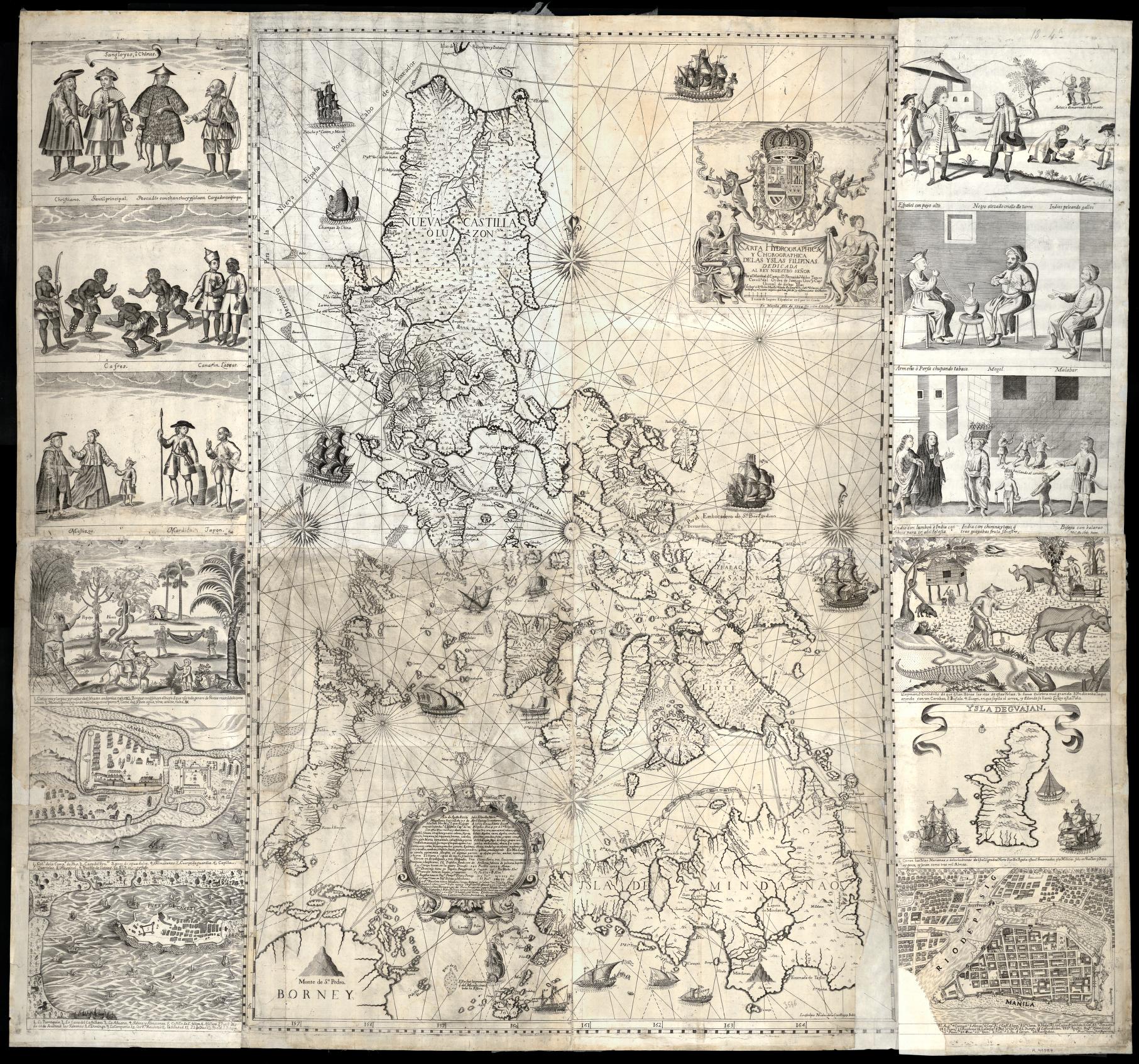
Titled the Carta Hydrographica y Chorographica de las Yslas Filipinas (Hydrographical and Chorographical Chart of the Philippine Islands), the 1120 mm. x 1150 mm. map was the handiwork of Spanish Jesuit cartographer Father Pedro Murillo Velarde, in collaboration with Filipino engraver Francisco Suarez, and artist Nicolas dela Cruz Bagay.
The map is regarded as the first detailed and scientific portrayal of the Philippine archipelago, then part of the Spanish Empire, earning it the label “Mother of All Philippine Maps”. The main map is bounded by intricate side-panel engravings depicting 18th century life in the Philippines.
More recently, the map gained renewed significance when it figured, together with 270 other maps, in the Philippines’ successful arbitral case on the South China Sea (2013-2016). On 12 July 2016, the arbitral tribunal ruled against China’s claim of historic rights that purported to extend beyond the geographic and substantive limits set by the UN Convention on the Law of the Sea.
Ambassador Ignacio conveyed profound appreciation to Mr. Velarde for his donation of the facsimile to the Embassy. And commended him for acquiring an extant copy of the map at great cost at an auction in 2019. That original is now displayed at the Permanent Gallery of the National Library of the Philippines. END